UK Snow Forecast: Met Office Alerts as Arctic Blast Hits 6 Areas
UK Snow Forecast: Met Office Issues Arctic Alerts
The latest weather intelligence confirms that the UK snow forecast is officially entering a winter operational phase as cold Arctic air sweeps southwards across the North Sea in late October. Atmospheric patterns indicate an early departure from mild autumnal conditions, bringing sub-zero temperatures and the season's inaugural snow flurries to elevated parts of the country well ahead of the astronomical winter calendar.
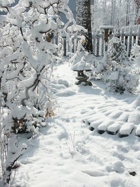
Met Office Synoptic Models Detail Six Primary Risk Corridors
Detailed radar projections distributed by the Met Office, alongside news coverage from The Independent and AOL, pinpoint six distinct geographical areas bracing for accumulating snowfall. The primary impact zone extends across the Scottish Highlands, the Grampian mountain ranges, and the high backbone of the Pennines across northern England.
Additionally, exposed sections of Cumbria, Northumberland, and North Yorkshire have been placed under observation for hazardous conditions. Higher elevations are projected to witness noticeable snow cover, which could generate disruptions across major trans-Pennine passes and scenic mountain routes
Sub-Zero Freezes and Critical Black Ice Warnings
Thermal models indicate nighttime mercury values sliding into negative territory, with localized minimums oscillating between -1°C and -3°C across inland and sheltered terrains. The combination of falling temperatures and lingering moisture elevates the threat of black ice—a transparent frozen glaze that coats road surfaces and overpasses without visible warning.
Motoring groups and local transport authorities have reinforced cautionary guidelines for commuters. Drivers are advised to verify tire tread depths, top up winter washer fluids, reduce driving speeds, and maintain extended stopping distances during early morning peak travel hours to minimize collision risks.
Polar Vortex Disruption and Longer-Term Implications
Climatologists cited by the Daily Star trace the present cold surge to observable disturbances within the stratospheric polar vortex. When this swirling low-pressure structure over the Arctic circle decelerates or weakens, frigid air masses regularly escape southward into mid-latitude zones, impacting the British Isles with early-season freezing temperatures.
Should these atmospheric dynamics persist through early November, meteorologists expect repeated waves of northerly winds, recurrent frost cycles, and localized snow squalls. Local councils have begun verifying gritting salt stockpiles and snowplow operational readiness to ensure community mobility and heating resilience against prolonged winter episodes.

Fadi Q
News writer and editor at Madar24, contributing to the preparation and editing of news and articles and the publication of digital content, with a focus on presenting clear, accurate, and up-to-date information to readers.
All articles by this author